


.jpg)

It's a treat when you travel with Tourmyholiday because you don't have to worry about anything. Every little detail is already taken care of. All you have to do is sit back and enjoy your vacation.


See all
Itinerary
| Mode | Price |
| Quad Sharing | ₹ 3000 |
| Triple Sharing | ₹ 3000 |
| Double Sharing | ₹ 3000 |
1. Where is Nag Tibba located?
Nag Tibba is located near Mussoorie in the Tehri Garhwal region of Uttarakhand.
2. What is the height of Nag Tibba?
Nag Tibba stands at approx. 3,022 meters (9,915 ft).
3. How difficult is the Nag Tibba trek?
It is considered an easy-to-moderate trek, suitable for beginners.
4. How long is the Nag Tibba trek?
Usually 1 night / 2 days, covering around 15–16 km.
5. What is the best time to visit Nag Tibba?
October to June is ideal. Winter snow trekking is very popular from December–February.
6. Does Nag Tibba receive snow?
Yes! Heavy snow can be seen in winter months.
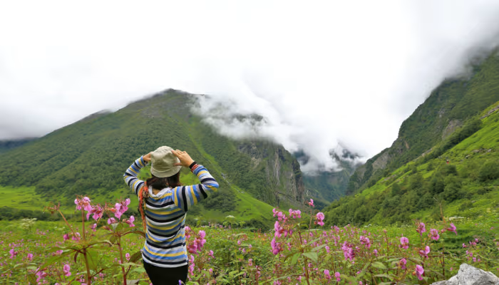
7. Is camping allowed at Nag Tibba?
Yes, camping is allowed at the Nag Tibba base and near the summit trail.
8. How to reach Nag Tibba?
Drive from Dehradun/Mussoorie to Pantwari village. From Pantwari, the trek starts.
9. Is Nag Tibba safe for beginners?
Yes, it is one of the safest beginner-friendly treks in Uttarakhand.
10. Do we need a guide for the Nag Tibba trek?
Not mandatory, but recommended for safety and navigation.
11. Are there stay options available?
Yes — camping tents, homestays in Pantwari village, and trek operator camps.
12. Is the mobile network available?
Network is available till Pantwari, with limited or no network during the trek.
13. What should I carry for the trek?
Warm clothes, trekking shoes, a water bottle, a power bank, snacks, and basic medicines.
14. Are washroom facilities available?
Only at Pantwari and some fixed campsites. Not available on the summit trail.
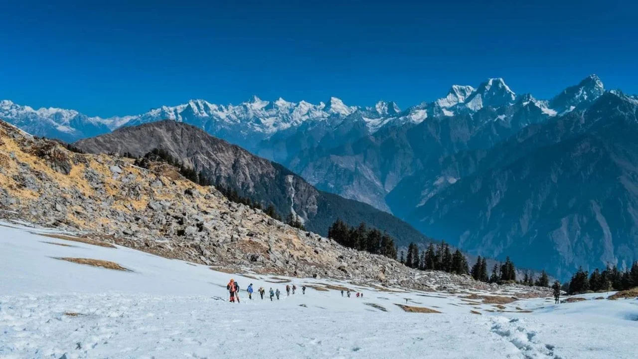
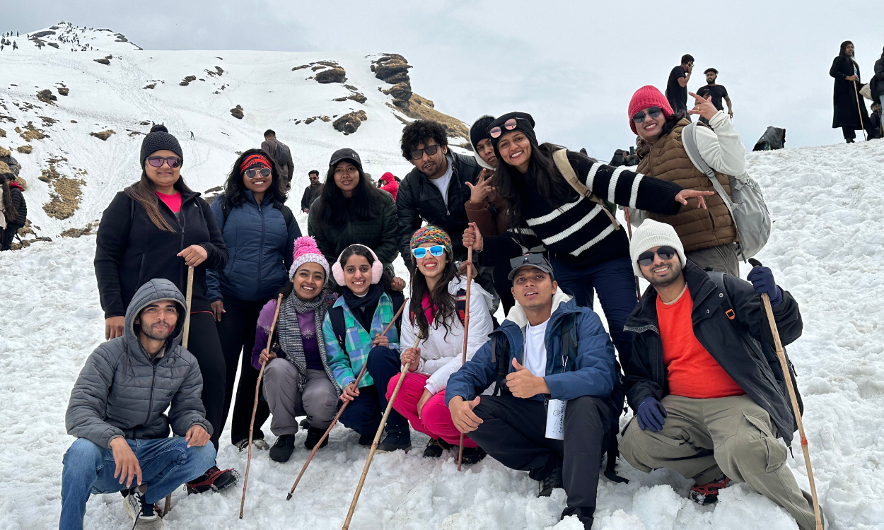
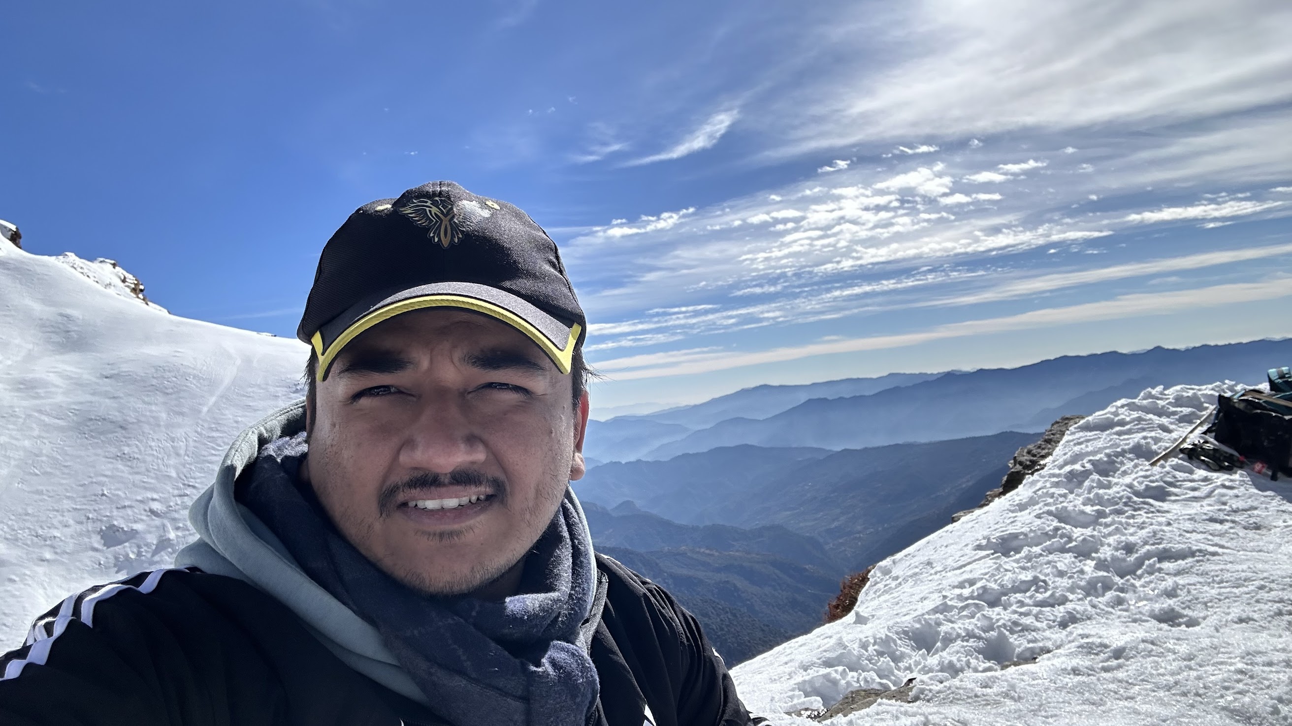
15. What can you see from the top?
Stunning views of Bandarpunch, Swargarohini, Kedarnath peak, and Gangotri ranges.
✅5+ Years of Expertise – TourMyHoliday has guided 10,000+ trekkers across Uttarakhand, making us a trusted name for the Nag Tibba Trek From Dehradun
🧭Experienced Trek Captains – Our trained leaders ensure proper pacing, conduct safety briefings, monitor altitude sickness, and handle emergencies efficiently.
👥 Small & Safe Groups (10–20 Trekkers) – We focus on personalised attention, better safety, and a peaceful trekking experience.
💰Transparent Pricing – No hidden costs; everything is clearly mentioned before booking.
📞 24/7 Customer Support – Our team is always available to assist you before and during your trek.
🚐 Complete Travel Planning – From Delhi pickup → Comfortable stay → temple darshan → return journey, everything is pre-arranged.
Reach out to us
.png)

.png)
.png)
.jpg)


.png)

.png)